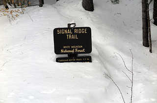
 Distance: 14 miles (round trip) via Sawyer River Road and the Signal Ridge Trail
Time: 10-12 hours
Difficulty: Pack the Aleve
Recommended Gear: Trekking Poles with winter baskets; Microspikes; Winter Hiking Boots; Alpine Snowshoes
Directions
A summer hike of Mt. Carrigain via the Signal Ridge Trail had me smitten. Some hikes can do that to you. So it was only natural that I wanted to take this mountain crush to the next level by hiking this beauty in the throes of winter. I marked my calendar and made plans to sneak away. Nevermind the fact that two whopping snowstorms hit the area mere days before. I was bandana-over-hiking-boots in love with Mt. Carrigain, a bond unbreakable by two to three feet of fresh powder. Or so I thought.
Before I continue with this tale of wanderlust, here’s the winter hiking info for Mt. Carrigain that you’re likely looking for: no, the Sawyer River Road to the trailhead isn’t open to vehicle travel in the winter. However, the road is a major snowmobile highway, so it’s well packed, and there’s a parking lot big enough to accommodate hikers and snowmobilers where the Sawyer River Road meets Route 302. There are two miles of travel on the Sawyer River Road between Route 302 and the Signal Ridge Trail; cross-country skiing this section would be a great option, especially on the return trip when it’s mostly downhill.
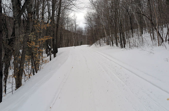
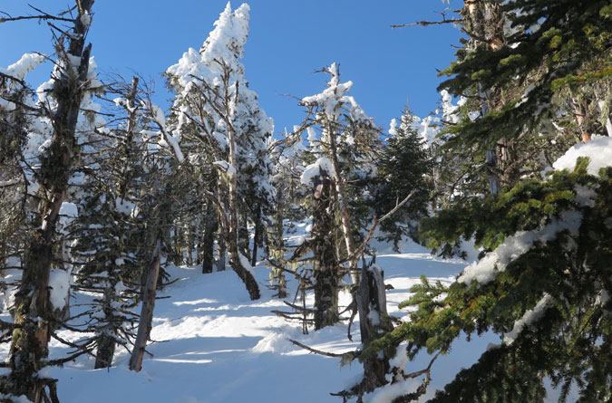
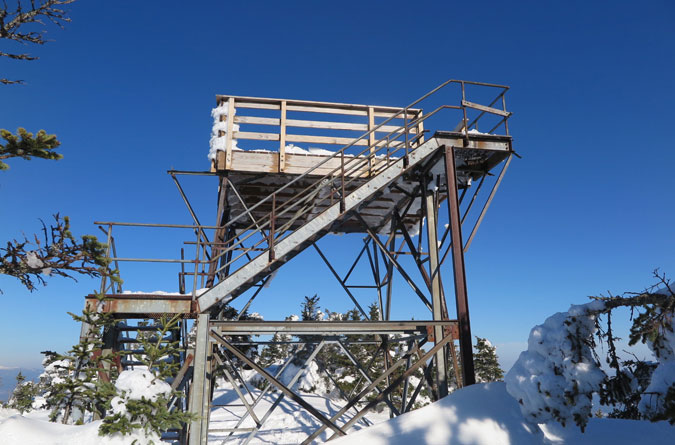
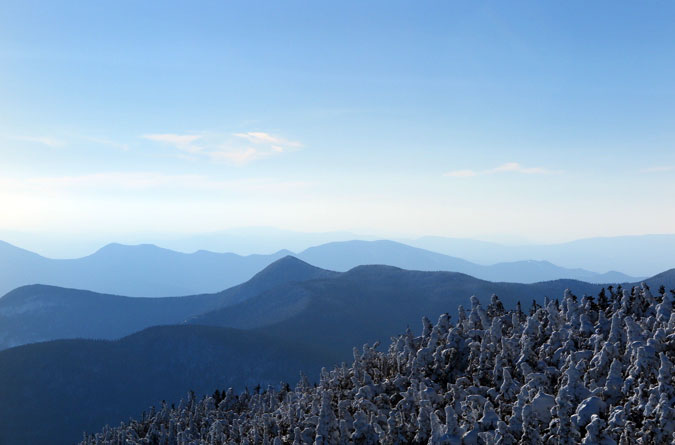
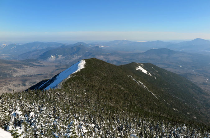
Now, back to the tale of my Carrigain trail affair. Upon entering the softwoods, the summer memories came flooding back, but it didn’t take long before breaking trail in the deep snow began to take its toll. It turns out that in the winter, Mt. Carrigain can be a real @!#$%. Oh, sure, Signal Ridge and the views from the summit tower are even more mesmerizing with a coat of snow, but they won’t come easy. Then again, that’s half the fun. Or not. What can I say? It’s complicated.
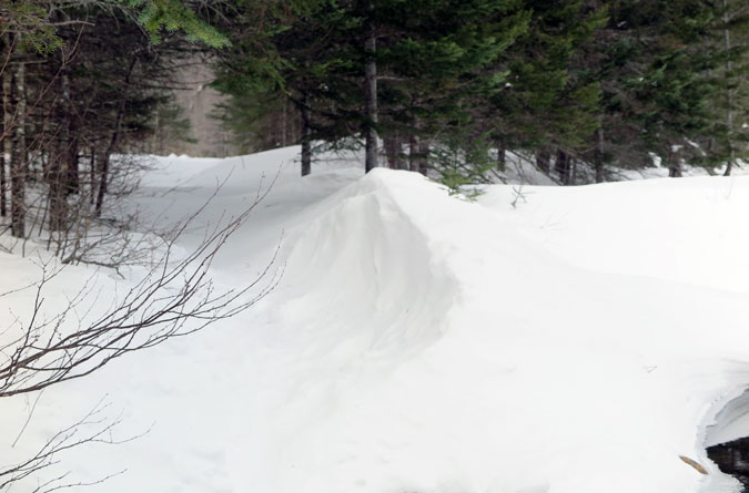
Truthfully, I only broke trail for the first mile and a half before being caught by another hiker. On a bluebird Saturday with afternoon temperatures above freezing, we were both surprised that nobody else was on the trail. Perhaps others had stayed away due to the snowstorms, but my overall impression is that Carrigain—by being a little bit further out of the way, plus the added hiking on the Sawyer River Road—is a White Mountains 4K-trail less traveled by in the winter.
In short, plan for a full day and then some. It was close to 8 AM when I hit the trail, and it was dark out when I stumbled back to my car. The hike itself isn’t oppressively steep (it’s nothing like climbing East Osceola), but where Carrigain gets you is in the relentlessness. The first 1.7 miles to the Carrigain Notch Trail split is mostly flat with water crossings over Whiteface Brook and Carrigain Brook that aren’t problematic. From there, the remaining 3.3 miles to the summit is steady climbing.
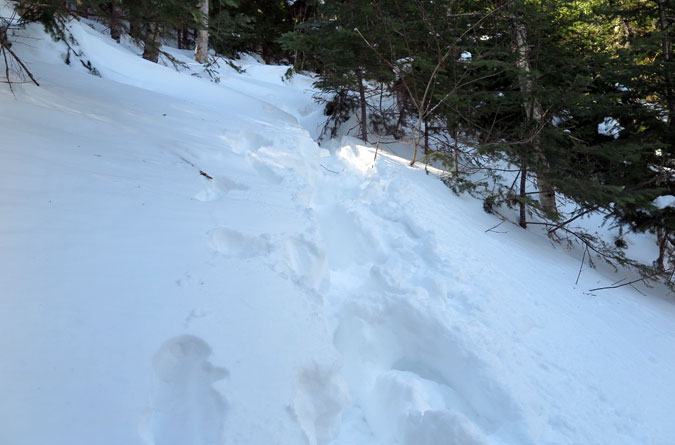
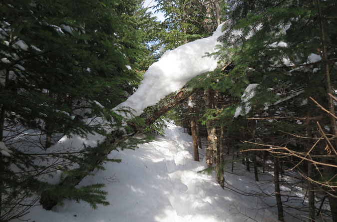
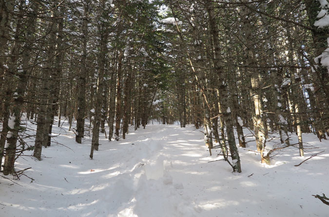
I’m not too proud to admit the fact that Mt. Carrigain used and abused me on this hike. Lifting my snowshoes in a windmill motion to get out of the deep powder led to groin cramping before I even reached Signal Ridge. I had a good mind to turn around, and if it weren’t for the other hiker helping to break trail, I probably would have. But something about the attraction to Mt. Carrigain kept me going.
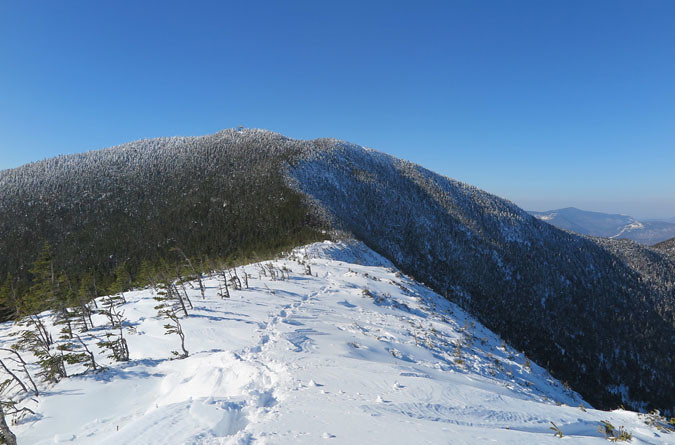

Staying hydrated on this hike was also an issue. I’d brought three Nalgene bottles and found myself rationing the last bottle on the final summit push (not good when your legs are already cramping). On the way down, I filled up at a stream sans filter. If you’re planning on hiking Mt. Carrigain in the winter, packing ample water is something to factor.



Thanks for the post, son and grandson are on the mountain this weekend.Great to see were they are from my chair by the fire!
I’ve only just started the 4ks and have completed 10 of them. I am super new to the winter hiking thing. I did Pierce a second time with a group. I did Willard, Arethusa Falls and Lonesome Lake on my own before completing Mt Waumbeck for #10 last week.
My Carrigain is on my list but I think I best leave it for the summer! Kudos to you for completing it!!!!! Congratulations! That is quite the accomplishment;)
Saved! I know I’ll be coming back to this.
**aquasculpt**
aquasculpt is a premium fat-burning supplement meticulously formulated to accelerate your metabolism and increase your energy output.
**vivalis**
vivalis is a premium natural formula created to help men feel stronger, more energetic, and more confident every day.
**boostaro**
boostaro is a specially crafted dietary supplement for men who want to elevate their overall health and vitality.
**synadentix**
synadentix is a dental health supplement created to nourish and protect your teeth and gums with a targeted combination of natural ingredients
**backbiome**
backbiome is a naturally crafted, research-backed daily supplement formulated to gently relieve back tension and soothe sciatic discomfort.
**hepato burn**
hepatoburn is a high-quality, plant-forward dietary blend created to nourish liver function, encourage a healthy metabolic rhythm, and support the bodys natural fat-processing pathways.
**alpha boost**
alpha boost for men, feeling strong, energized, and confident is closely tied to overall quality of life. However, with age, stress, and daily demands
**nervecalm**
nervecalm is a high-quality nutritional supplement crafted to promote nerve wellness, ease chronic discomfort, and boost everyday vitality.
**nitric boost ultra**
nitric boost is a daily wellness blend formulated to elevate vitality and support overall performance.
**aquasculpt**
aquasculpt is a revolutionary supplement crafted to aid weight management by naturally accelerating metabolism
**provadent**
provadent is a newly launched oral health supplement that has garnered favorable feedback from both consumers and dental professionals.
**sugarmute**
sugarmute is a science-guided nutritional supplement created to help maintain balanced blood sugar while supporting steady energy and mental clarity
**mindvault**
mindvault is a premium cognitive support formula created for adults 45+.
**yu sleep**
yusleep is a gentle, nano-enhanced nightly blend designed to help you drift off quickly, stay asleep longer, and wake feeling clear
**prodentim**
prodentim is a distinctive oral-care formula that pairs targeted probiotics with plant-based ingredients to encourage strong teeth
**balmorex**
balmorex is an exceptional solution for individuals who suffer from chronic joint pain and muscle aches.
**prostavive**
prostavive Maintaining prostate health is crucial for mens overall wellness, especially as they grow older.
**vitrafoxin**
vitrafoxin is a premium brain enhancement formula crafted with natural ingredients to promote clear thinking, memory retention, and long-lasting mental energy.
**gluco6**
gluco6 is a natural, plant-based supplement designed to help maintain healthy blood sugar levels.
**sleep lean**
is a US-trusted, naturally focused nighttime support formula that helps your body burn fat while you rest.
**glucore**
glucore is a nutritional supplement that is given to patients daily to assist in maintaining healthy blood sugar and metabolic rates.
**primebiome**
The natural cycle of skin cell renewal plays a vital role in maintaining a healthy and youthful appearance by shedding old cells and generating new ones.
**gl pro**
glpro is a natural dietary supplement designed to promote balanced blood sugar levels and curb sugar cravings.
**femipro**
femipro is a dietary supplement developed as a natural remedy for women facing bladder control issues and seeking to improve their urinary health.
**vertiaid**
vertiaid is a high-quality, natural formula created to support stable balance, enhance mental sharpness, and alleviate feelings of dizziness
**glycomute**
glycomute is a natural nutritional formula carefully created to nurture healthy blood sugar levels and support overall metabolic performance.
**tonic greens**
tonic greens is a cutting-edge health blend made with a rich fusion of natural botanicals and superfoods, formulated to boost immune resilience and promote daily vitality.
**oradentum**
oradentum is a comprehensive 21-in-1 oral care formula designed to reinforce enamel, support gum vitality, and neutralize bad breath using a fusion of nature-derived, scientifically validated compounds.
**wildgut**
wildgut is a precision-crafted nutritional blend designed to nurture your dogs digestive tract.
**prostadine**
prostadine concerns can disrupt everyday rhythm with steady discomfort, fueling frustration and a constant hunt for dependable relief.
**mitolyn**
mitolyn is a plant-forward blend formulated to awaken metabolic efficiency and support steady, sustainable weight management.
**biodentex**
biodentex is a dentist-endorsed oral wellness blend crafted to help fortify gums, defend enamel, and keep your breath consistently fresh.
**ignitra**
ignitra is a premium, plant-based dietary supplement created to support healthy metabolism, weight management, steady energy, and balanced blood sugar as part of an overall wellness routine
**neurosharp**
neurosharp is a next-level brain and cognitive support formula created to help you stay clear-headed, improve recall, and maintain steady mental performance throughout the day.
**finessa**
Finessa is a natural supplement made to support healthy digestion, improve metabolism, and help you achieve a flatter belly.