3.2 miles (one way); elevation 4,312
4-5 hours (round trip)
Difficulty: Weekend Warriors
Looking for an ideal winter hike to break-in the snow trail legs? Or perhaps you’re a casual hiker interested in bagging a (relatively) easy winter peak? Then again, maybe you just want a trail teeming with scenic charm for a little natural healing? If your head is nodding with any of these, then Mt. Pierce—the mountain formerly known as Mt. Clinton—via the historic Crawford Path, is the ticket.
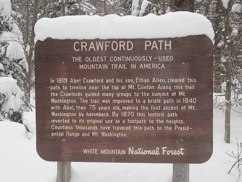
The Crawford Path was originally cut by Abel Crawford and his son Ethan Allen Crawford in 1819 as a route across the southern Presidential Range to Mt. Washington. In 1840 Abel’s youngest son Thomas converted the trail into a bridle path. Today, a good century after ascents have been made by horseback, the Crawford Path is regarded as the oldest continually used footpath in the United States.
These days the Crawford Path is as popular as ever. In the summer months it’s flocked with avid hikers and eco-tourists alike after Mt. Pierce and the Presidential Range’s bounty of scenic beauty. The trail also serves as the most direct route to the Mizpah Spring Hut (closed in winter). Come winter there’s still a steady stream of people, many of them fed to the mountain from the AMC Highland Center.

All of which is a positive for casual winter hikers or those new to the sport. The Crawford Path’s heavy usage means there’s likely to be a hard-packed snowshoe trail, and should you encounter any trouble, chances are you won’t have to wait long before help happens along. For those heading only to the Mt. Pierce summit, this can be achieved with boots alone, but I’d still recommend snowshoes and trekking poles with snow baskets. Crampons or micro spikes aren’t needed unless you’re doing the hike in early or late season when there’s more ice than snow.
The historic trailhead is located on Route 302 across from the AMC Highland Center; however, the best starting point for parking purposes is via the Crawford Connector from the White Mountain National Forest lot on the Mt. Clinton Road. The Crawford Connector climbs gradually for 0.4 miles past the Crawford Cliff Spur and over Gibbs Brook via a footbridge before joining the main trail.
At the intersection with the Crawford Path, turn left to proceed up Mt. Pierce. Shortly thereafter is a side trail on the left for Gibbs Falls. In the summer the falls alone is worth the short hike for families. In the winter, not so much. From here the trail climbs gradually with a few brief moderately steep pitches. There isn’t anything that would make it worth putting the heel bar on alpine snowshoes up.
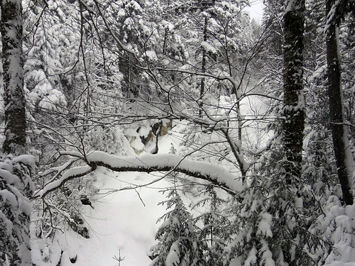
Almost two miles from the Mt. Clinton Road parking lot is the Mizpuh Cutoff side trail to Mizpuh Spring Hut. Continue straight for another 1.2 miles of ascent that’s slightly less steep; however, there are a few sections closer to the summit where the wind sneaks through the trees and deposits fresh snowdrifts on the trail.
Eventually the trail levels off and emerges from the krummholz into an opening where the Crawford Path meets the Appalachian Trail (also the Webster Cliff Trail). Turn right onto the Appalachian Trail and climb for about 0.1 miles to reach the summit of Mt. Pierce. Turn left at the junction to continue on the Crawford Path and Appalachian Trail toward Mt. Eisenhower.
Directions
When traveling on U.S. Route 302 East, the Mt. Clinton Road will be on the left just prior to the AMC’s Highland Center. The trailhead parking lot (National Forest Service fee applies) is on the left a short distance from 302. While the Mt. Clinton Road is maintained until the parking lot in the winter, early morning arrivals may encounter snowdrifts at the entrance. In such situations (a lesson I learned the hard way), it’s best to turn onto the Mt. Clinton Road when driving east on 302 to get the extra speed necessary to get through the snow and up the hill.
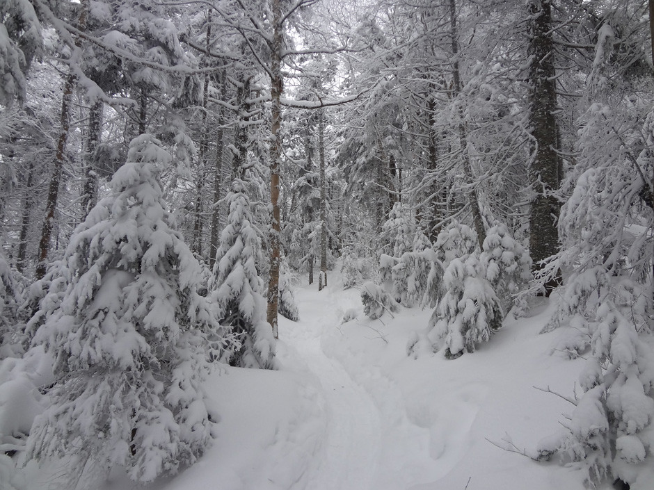
Even when there’s no shortage of snow on Mt. Pierce, the Crawford Path is well packed.
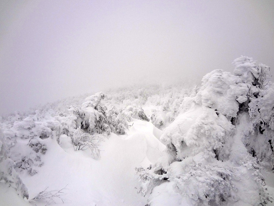
The krummholz near the summit of Mt. Pierce. On this day everything was enshrouded in clouds and the winds were fierce.
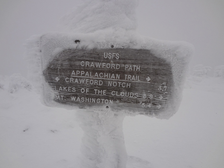
The Appalachian Trail sign marking the juncture with the Crawford Path. I had to wipe some of the rime ice off to read it. On the way up I’d entertained thoughts of continuing on to Mt. Eisenhower, but alas, the conditions weren’t playing nice.
Below is the view from the Mt. Pierce summit on a clearer summer day. To see more, check out the Appalachian Trail post for the Presidential Range.


Wow. Amazing article. I was planning to hike this mountain in Mid January. Is it safe for beginners ?